"April, April, macht was er will!" (April, April, it will do whatever it wants!) This is how Swiss Germans lament over crazy weather changes in April, from summer-like sunny weekdays to merciless snowstorm over the weekend. But I have not heard any set phrase to describe the extreme ranges of temperature and moisture this May...
We marked 28 degrees Celsius last Friday, and many enjoyed the first BBQ of the year. Now, we are expecting a week of morning frost and cold rain! I refuse to dig out my sweater from the winter box in the basement! We need to chase the sun and blue sky in the south.
Yes, Ticino! Get the RailAway special offer! Pack some sun lotion, bring hiking boots, and fill those water bottles.
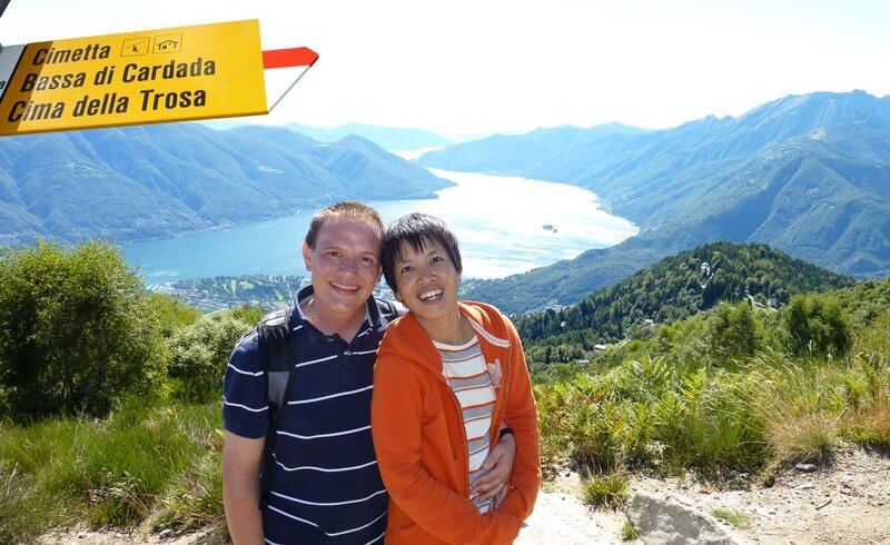
In just under 3 hours from Zürich HB by train, passing by the UNESCO world heritage site of the Bellinzona castles, we are welcomed by skinny, tall palmtrees and the milky pink colored station of Locarno. We do not miss a second to stretch our legs. We run - almost out of joy or from a sudden overdose of sunshine - to the nearby Funicular to Orselina.
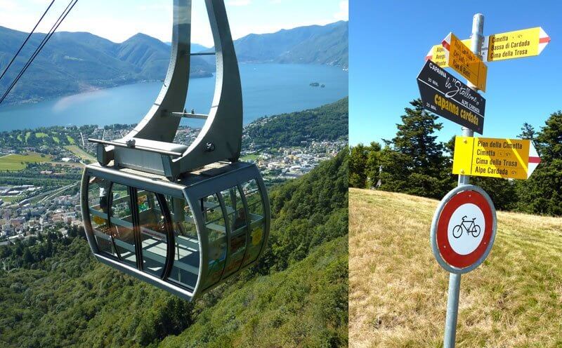
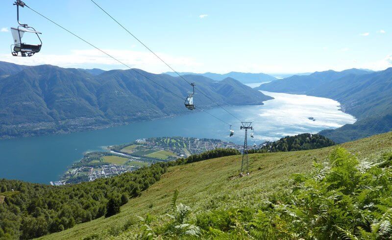
Saving the yellow monastery for the descent, we jumped onto a cable car, flying above the Lake Maggiore and switching to yet another cable car to the peak: Cardada (1340 m).
The Landscape Promotory
After having had a Titanic moment at the landscape promontory, we walked for about 15 minutes to a chair lift station. It was closed for an hour lunch break... The yellow hiking sign by the lift station showed a 45 minutes hike to the final destination of our RailAway tickets: Cimetta (1671 m).
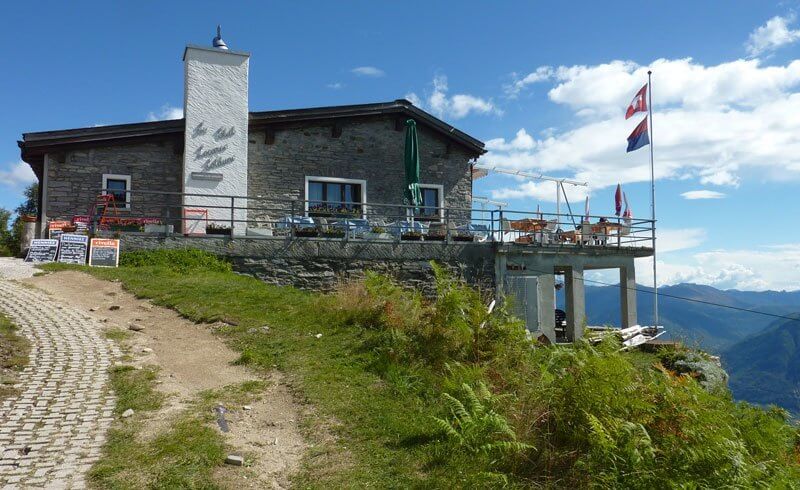
Just 20 steps away, we located the nearby restaurant under dense pine trees. Trying to guess which guest could be the lift operator, we decided to burn some calories to make more space for our lunch break on the way, preferably with lake view!
An easy but steadily uphill hiking path snaked from the pine forests to the fields of fern leaves<, then on through soft green pastures with a light breeze, all the way to the hilltop restaurant.
The perfect timing for these hungry and thirsty hikers!
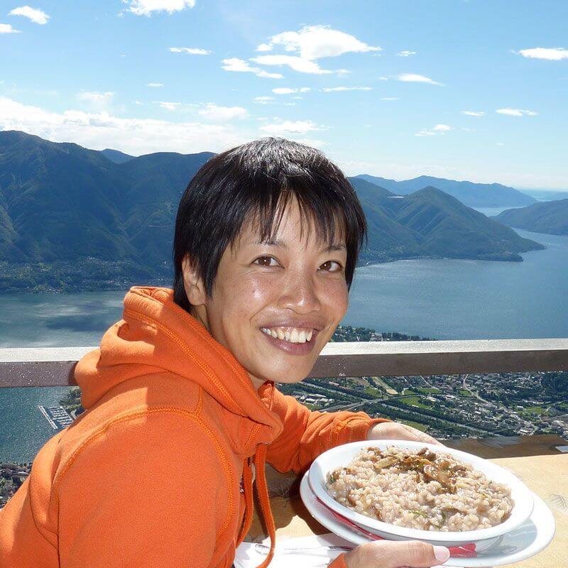
Looking down on the sparkling Lake Maggiore, I enjoyed a Ticino speciality: Red wine risotto. Another 15 minute ascent later, we had sweat off the Rivella and made it to the Cimetta observatory.
It offers Ticino's dynamic landscape "from the Maggia river delta between Locarno and Ascona, the lowest point of Switzerland, to the Monte Rosa massif, the highest point of Switzerland."
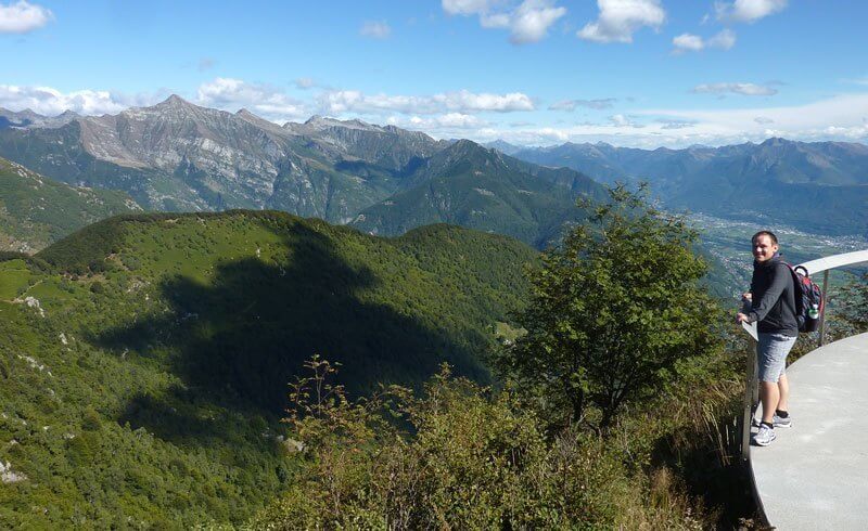
Although our squinted eyes could not identify the Monte Rosa in the haze, we deeply appreciated the dazzling silver lake radiating our pale skin.
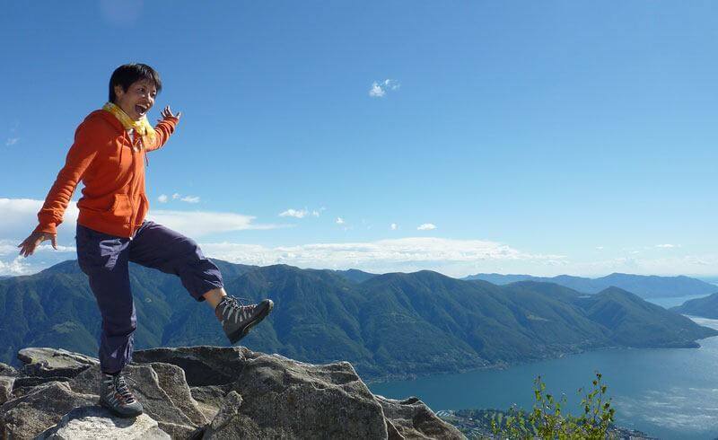
On our way down, we enjoyed the most scenic vistas from the chairlift. This was one of the most beautiful adventures we have ever been on in Switzerland... Ticino, we love it!
More Information
- Cardada Cimetta Bird's Eye View by MySwitzerland
- 360 degree view on Google Street View

[…] arrive at the top. At an altitude of 1671 meters above sea, the sweeping views are simply majestic. Cardada is a popular spot for hiking, downhill biking and paragliding, so there are many reasons to […]