During the pandemic, many of us had a reawakening: we've found that beauty and diversity start outside our front doors. As such, Switzerland allows us to be tourists in our backyards.
Switzerland is traditionally a country of (and for) hikers. Many of the most prestigious areas, such as the Alpstein, the Bernese Alps, or Zermatt, are filled with day hikers. Meanwhile, other regions with spectacular sceneries are only moderately visited.
The Tell Trail was only created late in 2020. In its entirety, this is a 208-kilometer hike along eight stages. From Altdorf to Sörenberg, the Tell Trail takes you to the “big 6” mountains of Central Switzerland: Stoos, Rigi, Pilatus, Stanserhorn, Titlis and Brienzer Rothorn.
A two-day long-distance hike from Stans to Engelberg
The Tell Trail (Waldstätterweg) is one of Central Switzerland's most rewarding point-to-point hikes. It's a full-day journey from the summit of the Stanserhorn all the way to the famous resort town of Engelberg, home of Mt. Titlis.
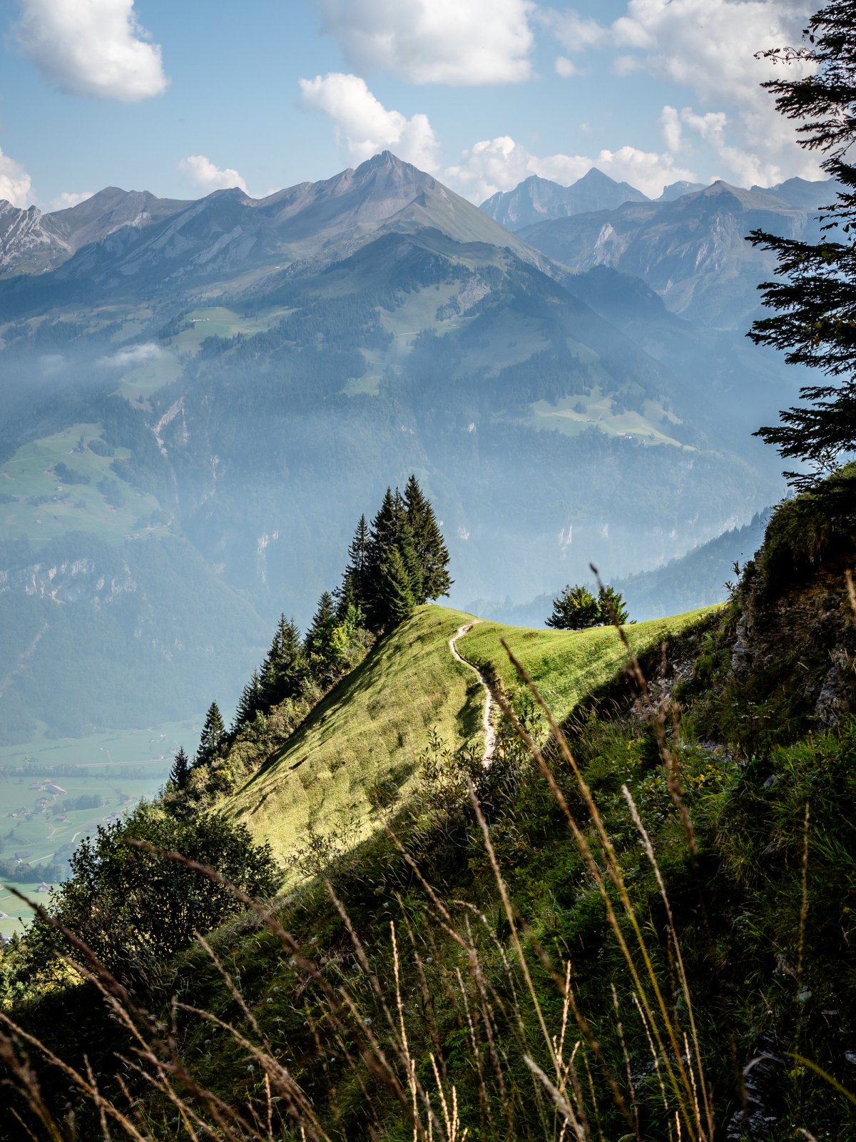
This trail takes you through picture-perfect alpine meadows, dense forests, remote farmland, and dramatic mountain scenery, with very few other hikers along the way.
If you're looking for an authentic Swiss hiking experience away from the crowds, this is it.
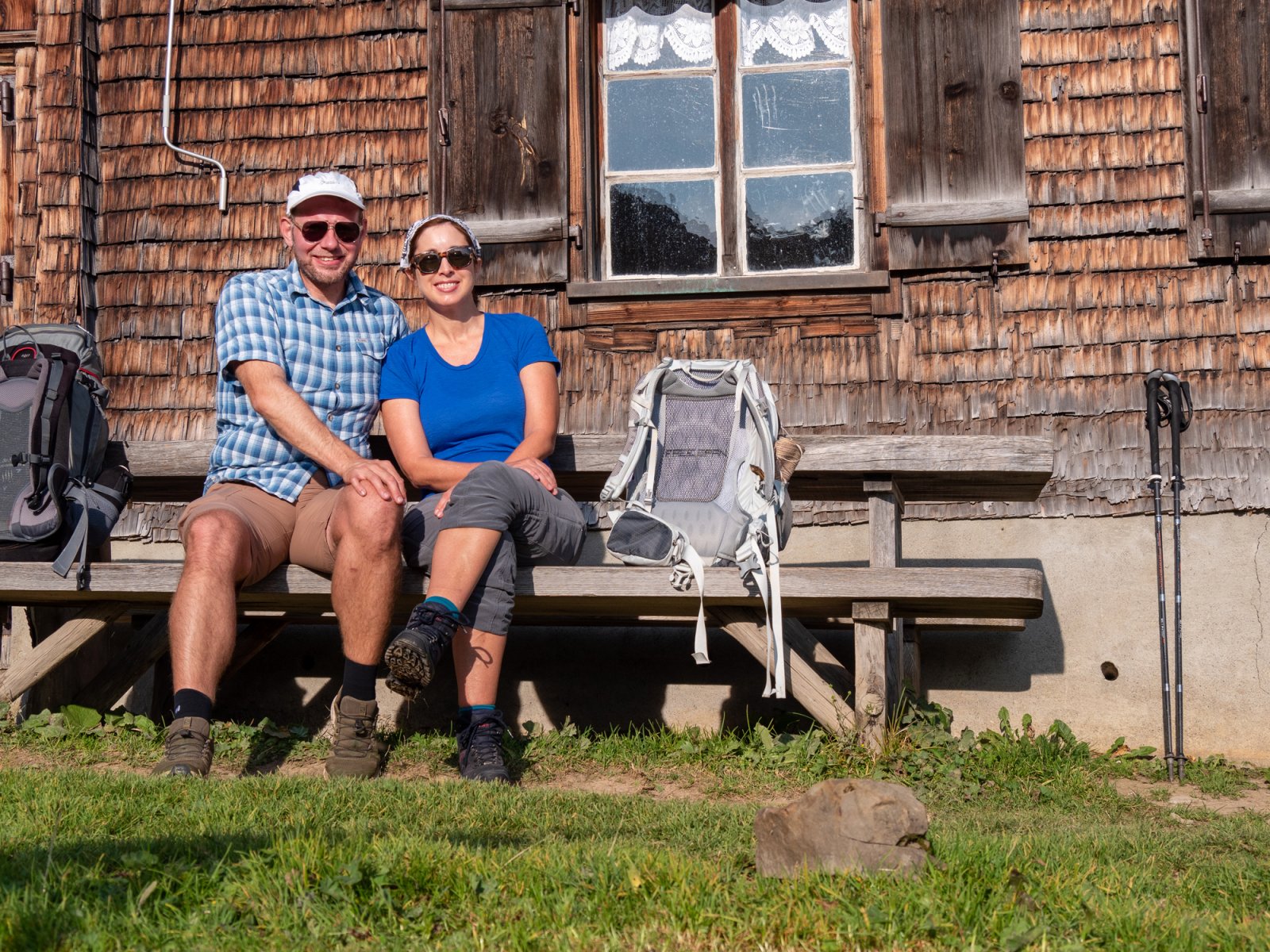
Together with my partner, Elizabeth, I recently hiked the fifth stage of the Tell Trail. I wanted to accomplish this hike for several reasons: firstly, I am a neophyte who loves to try new things. Secondly, I am enchanted by Engelberg, the destination of the fifth stage. And finally, I wanted to take some stunning photographs.
Stage five starts in Stans, the capital of the canton of Nidwalden. As the long-distance Tell Trail goes from A to B, I highly recommend arriving in Stans by train. From here, take the historic funicular and subsequently transfer to the double-decker CabriO cable car.
Getting to the trailhead? The Tell Trail starts at the summit of Mt. Stanserhorn. Read our Complete Stanserhorn Cable Car Guide for current prices, schedules, and tips on reaching the top.
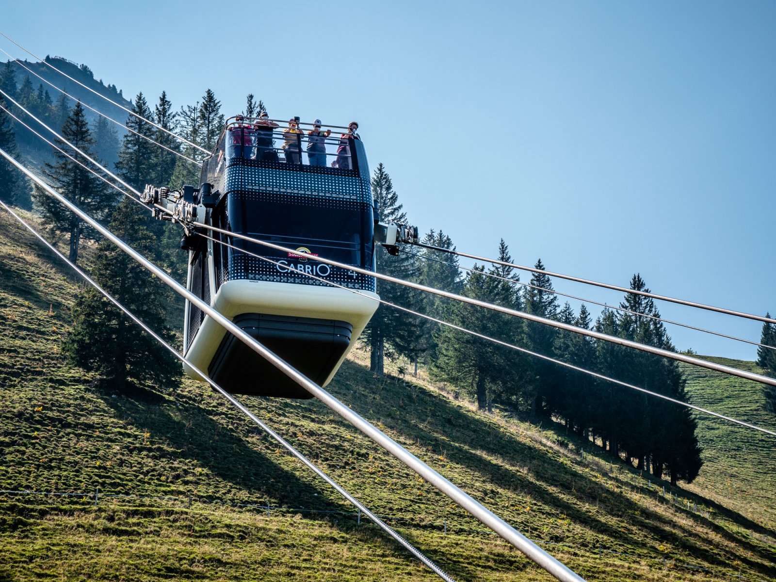
By the time you reach the top of Stanserhorn, you have not done a lick of hiking.
Yet, the journey and scenery will surely leave you breathless. This would be the moment to eat and drink something before embarking on the hike. For the next five to six hours, you will be living out of your backpack.
The beginning of the trail is comfortable, and the segment’s 26-kilometer distance to Engelberg seems somewhat trivial. But consider the elevation gains and losses, as well as the technicality of the trail.
Hence, stage five is better done in two days than one. You will want to pack as much as necessary and as little as possible: bring a sleeping bag, plenty of water, a flashlight, sunscreen, a rain jacket, and hiking poles.
Unless you are used to carrying lots of weight for a long time, leave your full-frame camera and lenses at home. The same goes for any other unnecessary electronics.
Staying in a tent under the starry sky
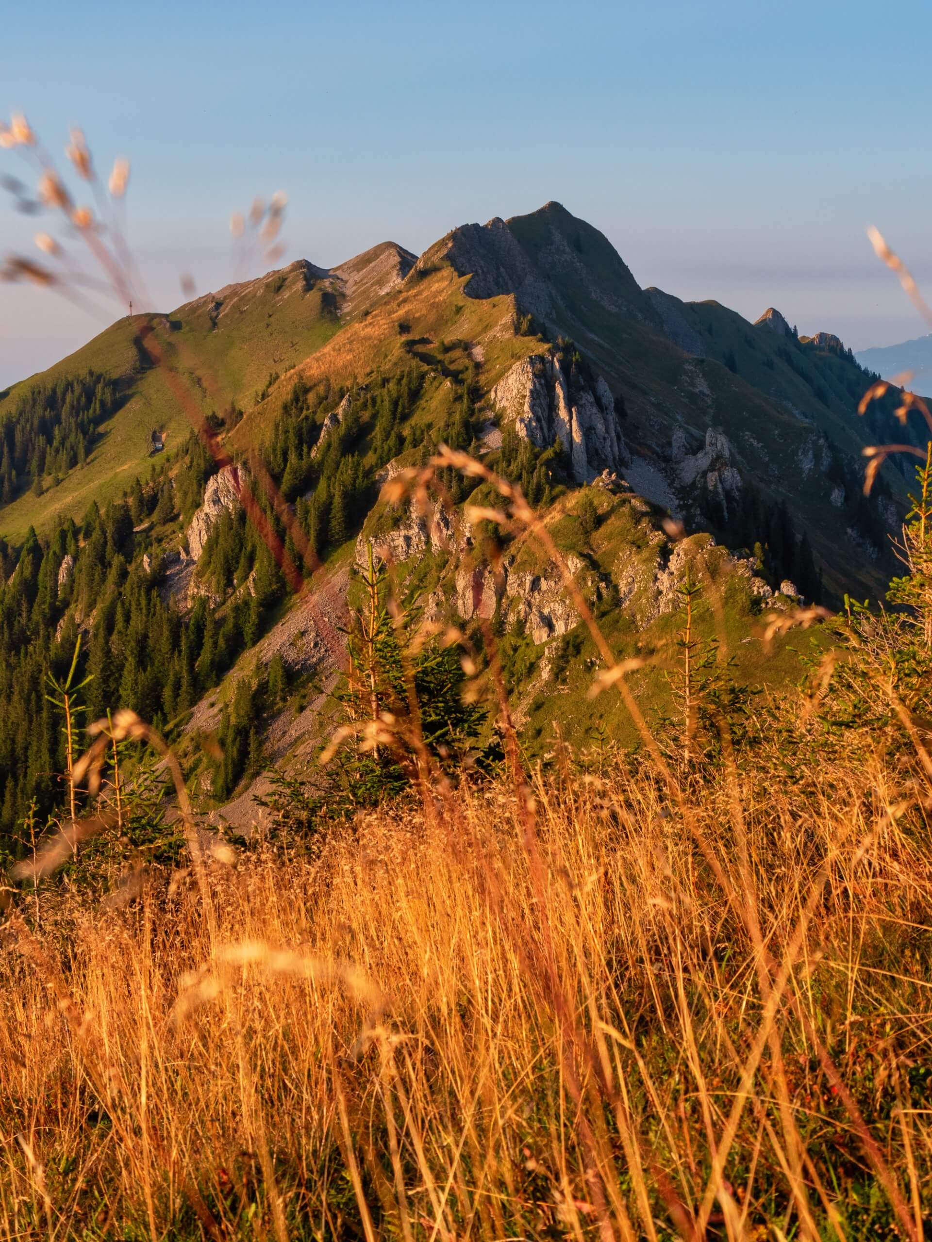
The first leg of the hike towards the Arvi Ridge (Arvigrat) is a decent 8k. However, reaching the ridge requires an ascent of some 600 meters in just 2.5k. It is a steep slog up and not to be underestimated.
Atop the Arvi, the ridge walk begins. With steep drop-offs on either side, this hike is not for people with vertigo or novice high terrain hikers.
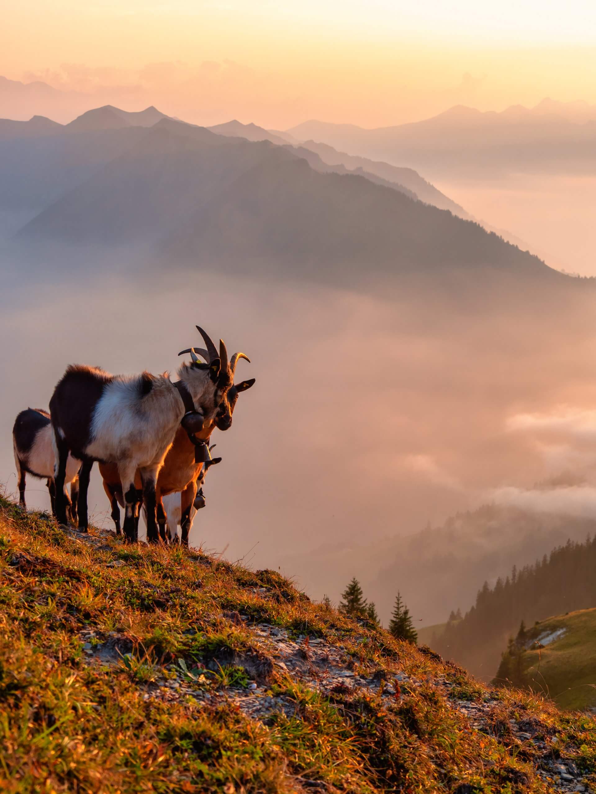
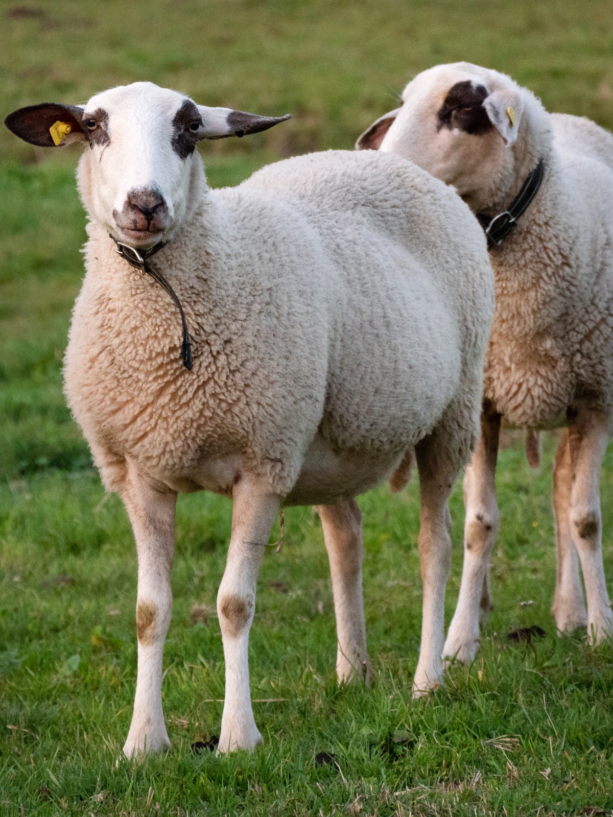
In late summer, the grass up here is already autumnal gold. As the sun quietly recedes behind the Bernese Alps, you may encounter a herd of friendly goats. They tend to soak in the last sun rays before the temperature drops by nearly twenty degrees.
If you aim to complete the hike in two days, you will want to spend a night at Alp Laucheren. This typical alp with sheep herds has been in the hands of the Niederberger family for four generations.
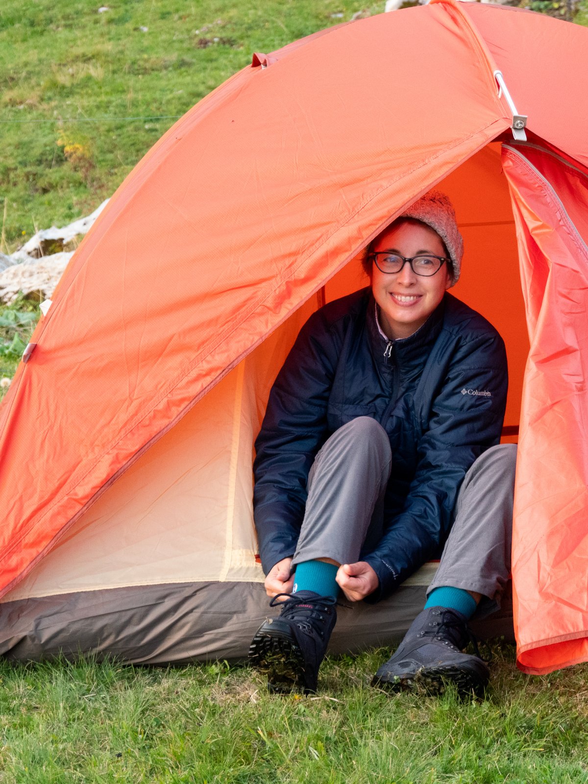
For especially stormy nights, Alp Laucheren offers a few beds inside the farmhouse. Baring high winds, trenchant rains, and flashes of lightning, the family would prefer that you rent a tent for the night.
What better way to end a day of hiking than by experiencing authentic alpine hospitality? The family will serve dinner and breakfast the following day. And they will even send you off with a packed lunch to sustain you on the next leg of your adventure.
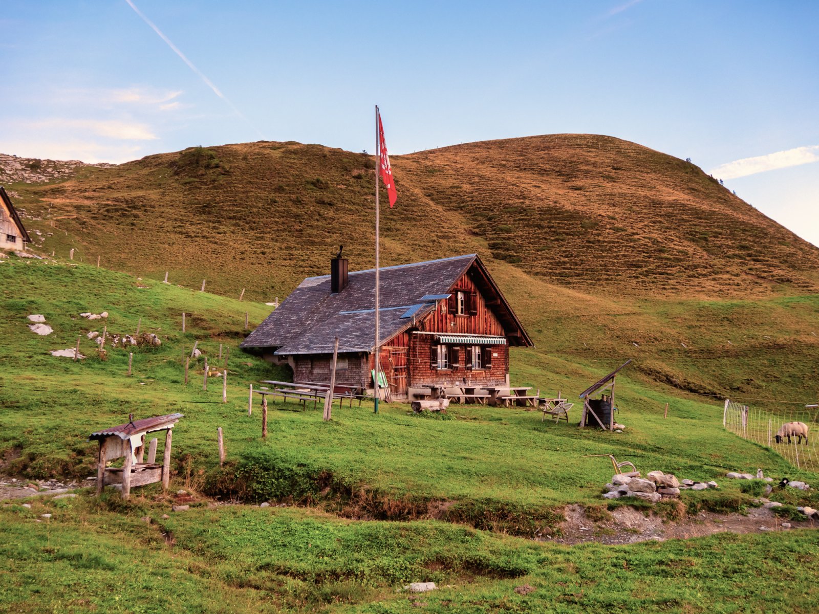
The farmhouse is quaint with just enough solar power to keep the lights on. You will most likely eat with some of the family members, farmworkers, and potentially a few other hikers. This makes for a perfect little adventure, demonstrating what it is like to do farming in the alps today.
Thanks to that strenuous hike and the pitch-black darkness of the night, you will fall asleep even if your tent is not on the flattest surface. And if you were determined (or silly enough) to carry all your photography equipment with you, this will be the perfect place for night sky photography.
While it was not the counting of sheep that put you to sleep, the bells of the herd will most likely wake you up at 5 AM the following morning. My recommendation is to take the bull by the horns and watch the sunrise.
Across a via ferrata to Engelberg
After a hearty breakfast, you will take down your tent and roll up your isothermic mattress. The next thirteen or so kilometers to Engelberg are calling your name.
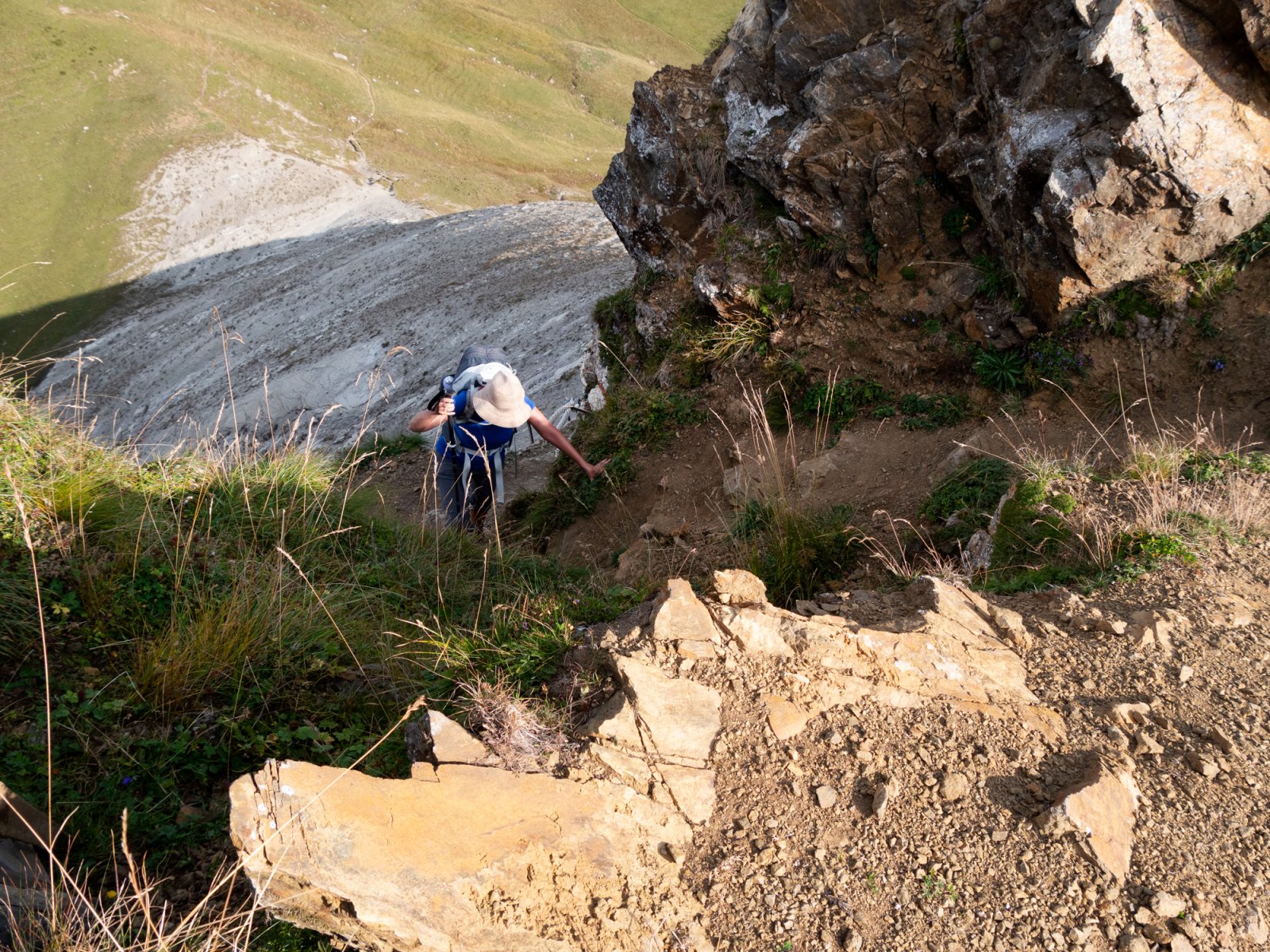
The second day’s hike starts with a steep ascent to a pass just below the Schluchberg. From there, you will follow the next ridge to the tricky via ferrata at Felspassage Wagenleisa.
Get ready for the scariest part of the hike. Ensure that the weight in your backpack is evenly distributed, that you don't have any items dangling from it, and that you are wearing proper footwear for the mountains. You will need to squeeze through tight places, take a few ladders and hold a few ropes to cross this section. The more compact your stuff is, the easier it will be to traverse.
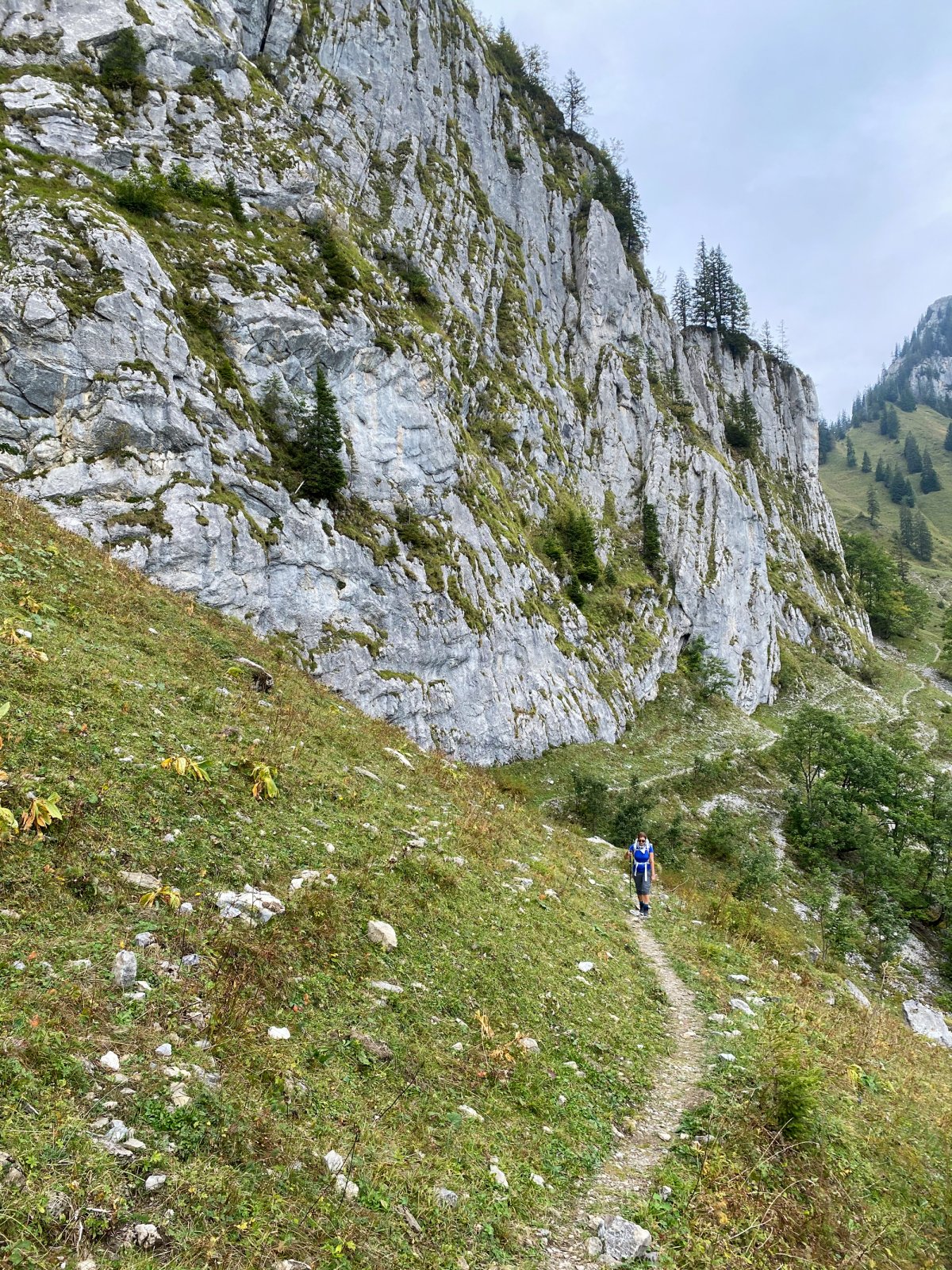
Having safely crossed the Felspassage Wagenleis, you will continue along the Nidwaldner Höhenweg until you arrive at the Storegg Pass. From here, you will drop down to the Lutersee.
Alternatively, turn left to Eggen and take a cable car down to the valley. However, the official Tell Trail route has you ascend some 400 meters towards Bocki. Once there, you will rather quickly descend some 500 meters before gradually making your way to Restaurant Untertrübsee.
At this point, you are just above Engelberg and can hike down or take a mountain scooter. The latter need some courage and a love for speed, but your feet might thank you for it.
My Verdict of the Tell Trail Between Stans and Engelberg
Though the official guide suggests ten hours for the entire hike from Stanserhorn to Engelberg, I would plan for closer to 15 hours or two seven-hour days.
As an advanced trail runner and hiker, I know that this distance can be done quickly. But carrying heavier equipment alone will cost you an additional hour. Then there are other factors to watch out for, namely heat and sun - or rain. Furthermore, the number of people on the trail and how surefooted you feel will also cost you time.
Lastly, it’s about many pictures you want to take along the way. On our hike, it started raining as we arrived at Lutersee and the forecast did not look promising. We decided to slowly head down to the valley from there and avoid too much exposure. Despite being prudent, Elizabeth's equipment was soaked even with a rainfly by the time we arrived in Engelberg.
Having done the most challenging leg of the Tell Trail and knowing several of the areas from other hikes and the Mountainman Ultra, I would say that Central Switzerland has a winning multistage hike.
With several ascents being possible with cable cars and railways, this tour is challenging but doable by most experienced hikers. Those looking for a more significant challenge are free to avoid the trains and gondolas and do it all on foot.
This section from Stanserhorn to Engelberg is bookable. The innovative package includes everything from cable car tickets to overnight stays. Exclusively, you will benefit from a luggage transfer service. Book this section
Trail Overview at a Glance
| Detail | Info |
|---|---|
| Trail Name | Tell Trail (Waldstätterweg), Stage: Stanserhorn to Engelberg |
| Distance | ~22 km |
| Duration | 6 to 7 hours |
| Elevation Gain | ~600 m ascent / ~1,400 m descent (net downhill) |
| Difficulty | T2–T3 (Moderate to Challenging) - requires good fitness and proper hiking boots |
| Start Point | Stanserhorn summit (1,898 m) |
| End Point | Engelberg (1,000 m) |
| Best Season | June to October |
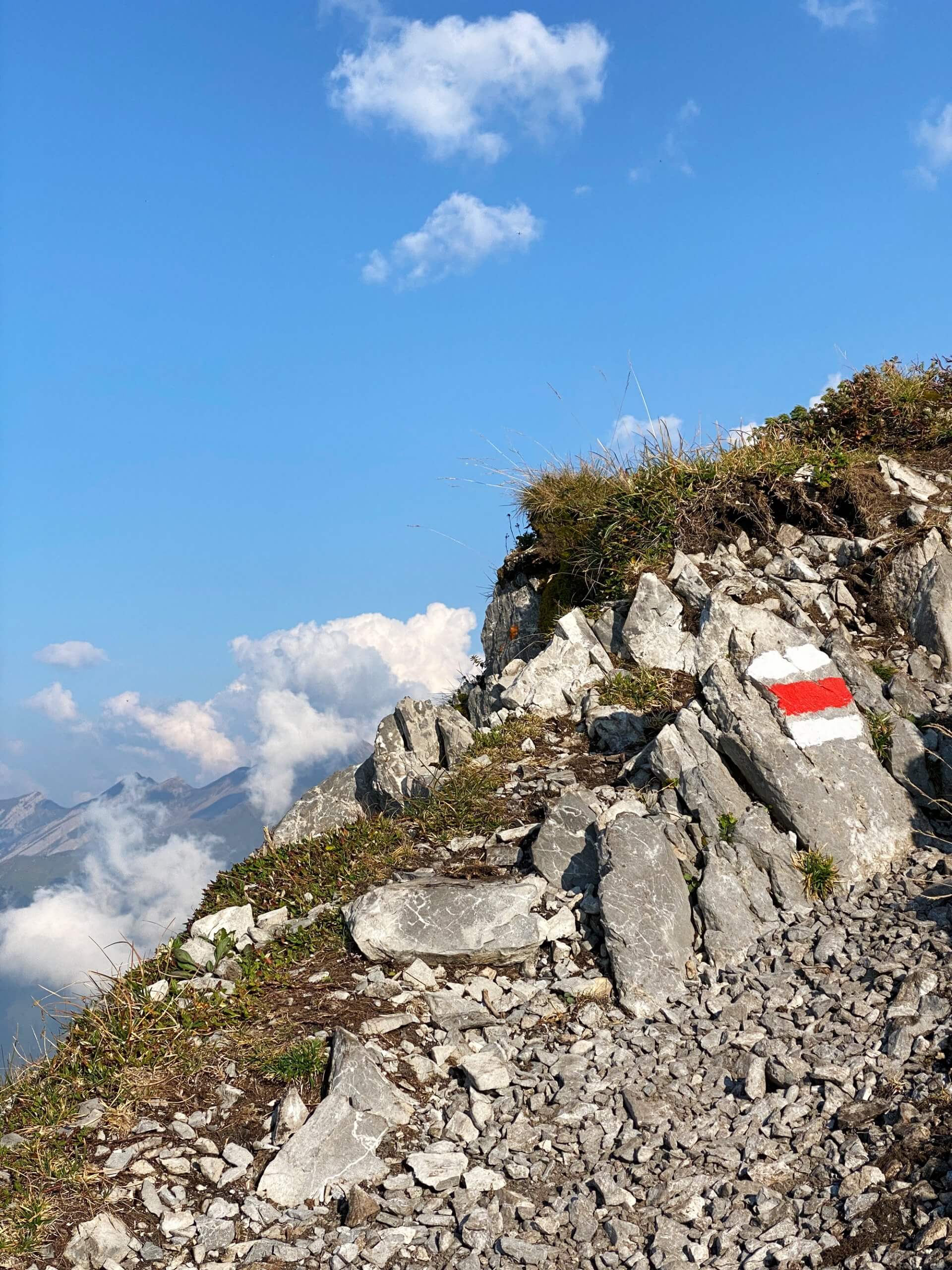
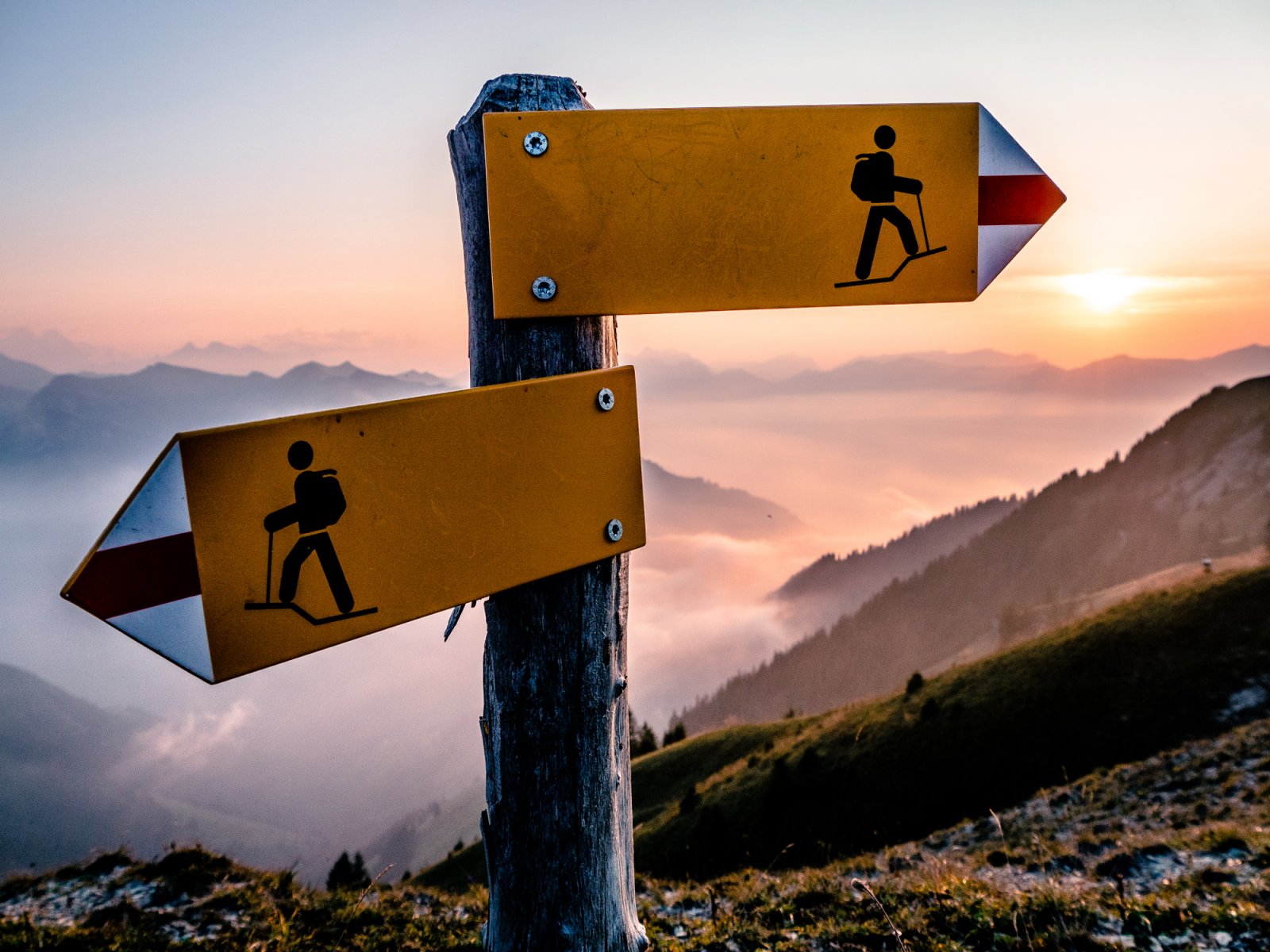
| Signage | Well-marked with yellow Swiss hiking signs |
| Refreshments | Very limited, bring enough water and food |
Detailed Tell Trail Route Description
Section 1: Stanserhorn Summit to Bluematt (~2 hours)
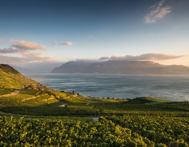
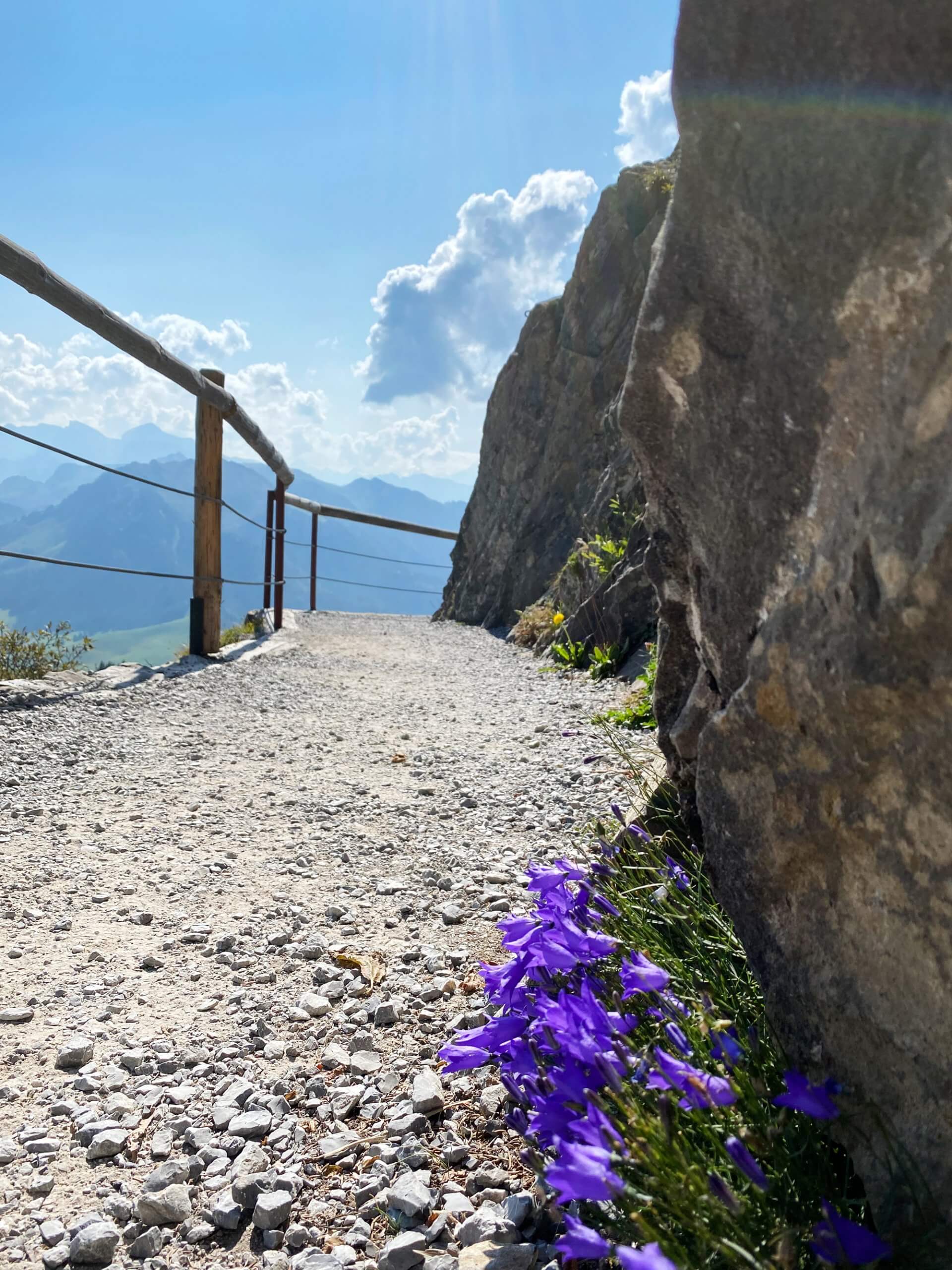
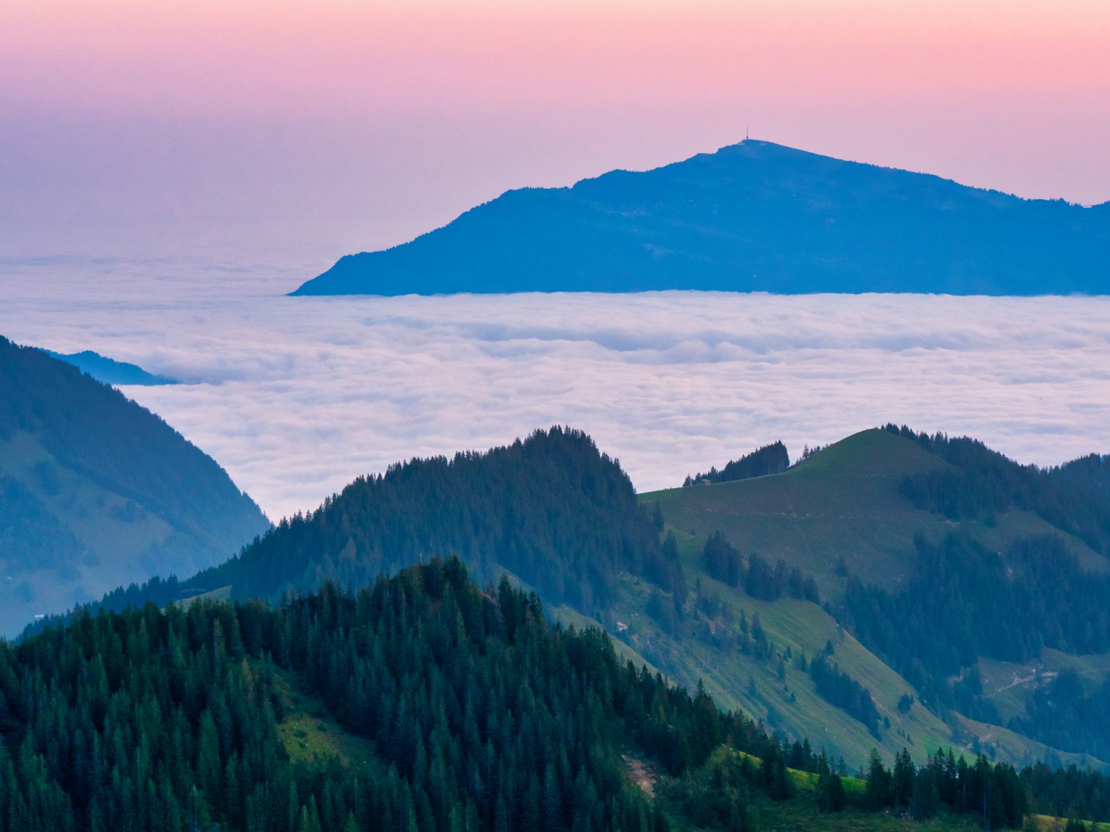
The hike begins at the Stanserhorn summit station at 1,898 m. Before you set off, take a moment to enjoy the panoramic views; you can see Lake Lucerne, the Bernese Alps, and on clear days, all the way to the Jura mountains.
The trail initially follows the ridge before descending through alpine meadows dotted with wildflowers (spectacular in June and July). The path is well-marked and relatively gentle in this section, passing through open pastureland where you may encounter grazing cows with their iconic Swiss bells.
You'll pass through Bluematt, a small Alpine settlement. There are no services here, so make sure you have water.
Section 2: Bluematt to Ächerli Pass (~1.5 hours)
From Bluematt, the trail enters dense forest and begins a gradual climb toward the Ächerli Pass. This is the most remote section of the hike. You're unlikely to see many other hikers.
The forest section is beautiful but can be muddy after rain. Waterproof hiking boots are essential. The trail is narrow in places with some exposed roots and rocks.
At the Ächerli Pass, you'll emerge from the forest to sweeping views of the Engelberg valley below. This is a great spot for a lunch break.
Section 3: Ächerli Pass to Engelberg (~2.5–3 hours)
The final section is a long, steady descent into the Engelberg valley. The trail passes through more forest, then opens up into meadows and farmland as you approach the town.
The descent is significant (~800 m in this section alone), so trekking poles are highly recommended to save your knees.
You'll arrive in Engelberg, where you can reward yourself with a meal in town before catching the train back to Lucerne.
How to Get to the Trailhead
The Tell Trail starts at the Stanserhorn summit, which you reach via the CabriO cable car from Stans.
Getting there:
- Train from Lucerne to Stans (~20 minutes)
- Walk or bus to the Stanserhorn valley station
- Funicular + CabriO cable car to the summit (~25 minutes)
Important: Buy a one-way ticket up the Stanserhorn (you won't be coming back down the same way). This saves you roughly 30% compared to a return ticket.
For full details on cable car prices, schedules, and discount cards, see our Complete Stanserhorn Cable Car Guide.
Getting back from Engelberg:
- Train from Engelberg to Lucerne: ~45 minutes (direct trains via Zentralbahn)
- Trains run regularly until late evening
What to Pack
This is a full-day mountain hike. Come prepared:
- Waterproof hiking boots (not sneakers as the trail is rocky and can be muddy)
- 1.5 to 2 liters of water (there are very few water sources along the route)
- Packed lunch and snacks (no restaurants or shops between Stanserhorn and Engelberg!)
- Rain jacket (mountain weather changes fast)
- Warm layer (it's cool at the summit, even in summer)
- Sunscreen and sunglasses
- Trekking poles (highly recommended for the long descent)
- Fully charged phone with offline maps downloaded (SwitzerlandMobility app recommended)
- First aid kit (incl. blister plasters, bandage, antiseptic wipes)
Tips & Practical Advice
Is the Tell Trail Worth It?
Yes, for as long as you're a confident hiker looking for a quieter, more authentic Swiss trail. The Tell Trail doesn't have the fame of the Eiger Trail or the Haute Route, but that's exactly what makes it special.
You'll pass through landscapes that most tourists never see, and you'll likely have long stretches entirely to yourself.
The combination of riding the world's first open-top cable car up to the start, then hiking through remote alpine scenery to finish in charming Engelberg, makes this one of the best day hikes in Central Switzerland.
🥾 Planning your trip? Start with our Complete Stanserhorn Cable Car Guide for everything you need to know about getting to the summit — prices, schedules, tips, and more.